
Webster County Parcel Map Layers and Tools
The statewide viewer packs plenty into one screen. It handles address lookup. Parcel attributes, geometry, coordinates, identify controls, and a CSV export round out the toolkit. The help page explains how to locate a parcel and open its attributes. The county ArcGIS map differs. Its search, select, measurement, and layer-list controls come with a notice that the data is informational and not a survey or title search.
| Layer | What It Shows | Use |
|---|---|---|
| E-911 address | Street address, city, and state abbreviation; rural routes and PO boxes are excluded. | Locate a modern situs address. |
| Parcel attributes | Owner, property address, or full parcel ID from IAS data. | Move between map and assessment card. |
| Geometry / buffer | Searches by spatial area around a selected place. | Find adjacent or nearby parcels. |
| Coordinates | Latitude and longitude input. | Locate a spot when an address fails. |
| Identify / select | Parcel number, owner summary, and physical address after zooming in. | Read the map and test a parcel location. |
| County ArcGIS tools | Search, select, measurement, and layer list. | View county map context; disclaimer limits use. |
| CSV export / state data | Export control and statewide parcel-layer metadata. | Save a result set or inspect data provenance. |
Land a map selection. Record the full PID and physical address. The IAS card then holds the owner, mailing address, appraisal, deed book and page, and legal description. Care about a line or lot? Search the County Clerk’s plat category, then compare the recorded plat against the deed. The assessor flags one trap: a building can appear on a neighboring tax-map polygon without that neighbor owning it.
The viewer earns its keep as a bridge. It moves a known feature to a parcel key. Address lookup runs on the E-911 layer, while property cards and parcel attributes come through IAS. Rural routes and PO boxes are excluded. A failed street query therefore does not mean the parcel is missing. Switch to the tax-card address, owner, full PID, or coordinates, and check that the physical address fits the spot you intended.
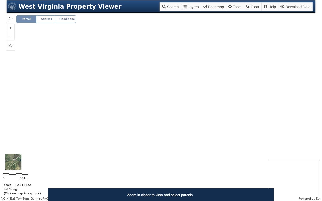
The WV Property Viewer search help documents the E-911, parcel, geometry, coordinate, identify, and export controls used for Webster County parcel maps.
Read a Webster County District Map Parcel ID
The statewide format is strict. It pairs a two-digit district with a four-digit map and a four-digit parcel. A four-digit suffix follows, leading zeroes and all. A Webster sample reads `51-03-007Q-0038-0000`. Keep every zero. Keep the letter in a map label too. The district is part of the key, so nothing gets trimmed. Another county card shows district 1, map 0003, parcel 0146, and suffix 0000 for Camden-on-Gauley.
County code, district, map, parcel, and suffix hold steadier than a postal city name. Copy the full value from IAS before opening the viewer or asking the Clerk for a plat. Older instruments may carry a historic district name. Current assessor cards use the present label.
Locate a Webster County Parcel on the Map
Open the WV Property Viewer and search by address or complete PID. Rural or PO-box addresses call for parcel attributes or coordinates instead. Zoom until boundaries display. Select the parcel. Then note the ID and physical address. Nearby lots can overlap on screen, and stacked parcels may return more than one result.
The help ties Identify to roughly a 1:18,056 scale. At a wider view, a click can land on a road, a label, or a broad feature instead of the parcel, so zoom before trusting the pick. Coordinates deserve care too. Save the system and source when the point came from a survey or GPS device. A buffer can surface surrounding parcel IDs. The search distance is a discovery aid, though, not a legal neighbor or a shared boundary.
- Pick an address, owner name, full PID, or coordinate as the first search key.
- Zoom until parcel outlines appear, then use Identify or Select to read the chosen parcel.
- Copy the PID and compare the owner summary with the detailed IAS card.
- Use geometry or buffer search to find nearby parcel IDs, then open each record in IAS.
- Export a CSV only as a working list; the published help does not state its full field set or result cap.
Find a Webster County Parcel by Address or PID
The viewer leans on two systems. SAMS feeds the E-911 addresses. IAS feeds owner and parcel attributes. That split explains why a map search and an assessment search can show different address text for the same place. `Physical Address` and `E-911 Address` sit in separate fields on the detail card, and either can be blank or formatted differently. A failed street query has an easy fix. Run the owner name or PID through IAS and return to the map with the result.
The map summary can mislead in small ways. It may list one owner when the full card holds several names. At some scales, narrow strips, shared driveways, and stacked features blur together. Open the detail card for the full owner field, and compare the displayed parcel number against the deed reference. When several features return, note each one instead of trusting the closest pin.
- Search the street address with Webster Springs or Addison when locating the county seat.
- Open the parcel and save its full district-map-parcel-suffix identifier.
- Use the linked IAS record for mailing address, land and building values, and sale history.
- Use the Clerk’s plat or deed when the mapped lot name or line needs record support.
- Parcel ID
- The district, map, parcel, and suffix key used by the state viewer and assessment card.
- Plat
- A recorded map that lays out lots, tracts, or other land features.
- Lot and block
- A legal description that points to a lot and block on a recorded plat.
- Metes and bounds
- A boundary description using directions, distances, and markers.
- Easement
- A recorded right to use part of land for a stated purpose; check the instrument.
Webster County Plats and Land Entries
The County Clerk’s indexed categories include plat maps. For older work, the state archive holds Webster’s Record of Entries & Plats of Land covering 1860 through 1990. Search current plats by lot, block, or subdivision wording. A deed pointing to an older tract or district calls for a land-entry record. Webster County publishes no complete subdivision-name index. Never guess at a missing subdivision label.
Historic district names linger. Fork Lick, Glade, Holly, and Hacker Valley can appear beside modern Central, Northern, or Southern labels. Retain the wording on the instrument. For an older tract, a road, stream, or town-lot reference may say more than a present street address.
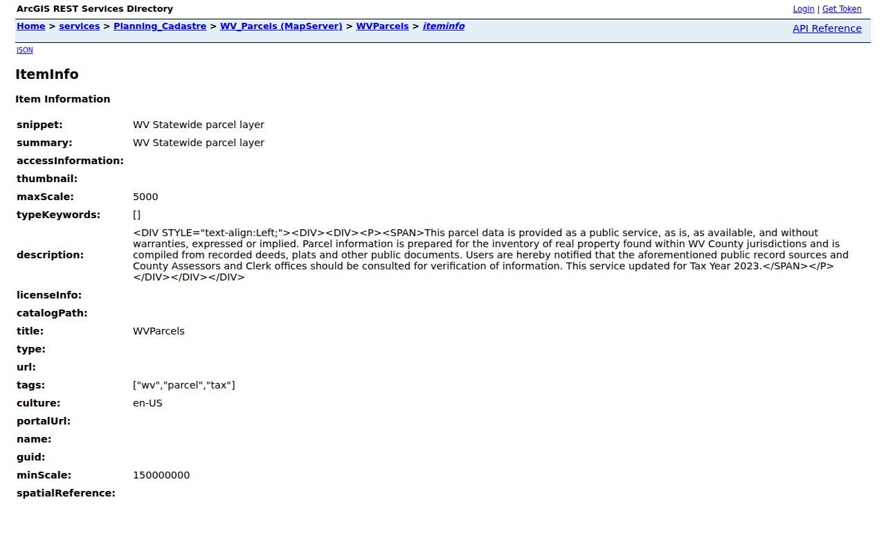
The West Virginia parcel-layer metadata describes statewide parcel data, while the WV GIS Technical Center provides the statewide mapping context.
Webster County Parcel Data Beyond the Viewer
The viewer offers an Export as CSV control. Its column list is not documented. The state maintains a separate parcel layer through the WV GIS Technical Center and the Tax Division. Metadata for that layer is published online. A bulk download suits a broad map comparison. It cannot replace a current parcel card, deed, or plat.
Statewide layers are assembled and refreshed on a schedule. The published service description identifies the source and the fields. It does not certify that any exported polygon was current at the moment of use. Save the download date, the query area, and the filter choices with the CSV. For one parcel, compare the export with the live viewer and the current IAS card. For a large adjoining-property review, build the list from the export first. Then confirm each PID individually.
The county ArcGIS application supplies measurement tools and a layer list. Its splash disclaimer says the map is compiled from plats, deeds, and public records for information, not as an appraisal, zoning determination, title search, or survey. For a legal boundary, read the deed and the recorded plat. Then hire a licensed surveyor.
Limits of Webster County Parcel Maps
Map layers from West Virginia and Webster County provide location context. That context has strict limits. These maps are not a title search, appraisal, survey, or zoning verification. The assessor says tax maps serve taxation and may not show a legal boundary. A building drawn on a neighboring polygon does not prove that neighbor owns the house, so compare the parcel's legal description and recorded plat before trusting any line on the ground.
Tax maps get updated to support assessment work. Scale can blur a narrow strip. Shared access is just as hard to read. If an owner, buyer, or adjoining landholder needs to know exactly where a line falls, the deed and plat belong with a licensed surveyor. A marked GIS boundary is not a monument on the land, and an identify result from the viewer will not settle an access or encroachment question.
Use the map as a first step. Locate a candidate parcel and copy its PID. Open the IAS detail next. Then compare the legal description against the County Clerk's instrument. If the map and the card disagree, note the map date and ask the county which layer is being displayed. For a historic lot, follow the recorded plat and the old district reference rather than projecting a current postal address backward onto the deed.
Not a survey. Do not build, fence, or settle a boundary dispute from a GIS line. Use the deed and plat, and ask a licensed surveyor to mark the legal line.