
How to Search Cowen Property Records
Every Cowen address search starts in the Webster County Assessor's IAS system. Enter a street address or an owner name. Write down the parcel identification number, the physical address, the owner field, acreage, legal description, and deed book and page. The town name is just a place clue. The county parcel is the real record key. Because Cowen property records are kept by Webster County, the town site is no substitute for the county tax card or deed index.
- Try the street address in the county assessment search. If it fails, search a known owner or a nearby road name.
- Copy the full PID and the district, map, parcel, and suffix components exactly as displayed.
- Use the deed book/page reference in the County Clerk’s indexed land records to identify the instrument.
- Check the tax record with the Sheriff and use the statewide parcel viewer for map context.
- For a town permit or zoning question, contact the municipal office with the address and approximate year of work; no public permit index was located.
Two guides can help. The Webster County property search guide explains the IAS fields, and the deed index guide covers the Clerk's recorded-document search. Save a copy of your result. Assessment cards and online deed indexes can change.
County and Town Offices for Cowen Records
Record-keeping splits by office in Webster County. The County Clerk records deeds, liens, releases, and plats. The Assessor keeps parcel and valuation information. The Sheriff handles tax bills and collection, while the Circuit Clerk maintains court records. All of these offices sit at the Webster County courthouse in Webster Springs. Cowen's municipal contact handles town administration, but the town site works as a community resource rather than a searchable property-permit database.
Webster County Property Records
Use county systems for deed, assessment, tax, and parcel records tied to a Cowen property.
Cowen Municipal Contact
Municipal Building, 91 Erbacon Road, Cowen, WV 26206
Recorder: 304-226-3101
Roads, Places, and Plat Names Around Cowen
Webster County publishes no official roster of Cowen subdivisions or plat names. No municipal parcel-number range exists either, nor a list of annexed additions. Avoid inventing a subdivision name from a neighborhood description. Cowen sits along a road corridor tied to Erbacon, Diana, Bergoo, and Webster Springs. Those place names can orient a property search. Yet only the parcel card and the recorded description confirm which tract is involved.
| Search clue | What is documented | How to use it |
|---|---|---|
| Erbacon Road | Municipal Building address and route clue | Search the exact situs address, then confirm the map and deed description. |
| Diana and Bergoo | Nearby community names, not verified Cowen subdivisions | Use as a broad locality term; do not assume town limits. |
| Webster Springs | County seat and separate postal place-name reference | Keep town, mailing city, and physical situs fields distinct. |
When a deed says "lot" without a familiar subdivision, follow the older deed reference and any plat citation instead of trusting a modern street label. The county parcel-map guide shows how to move from the PID to map context. A map pin helps you locate a tract. It cannot resolve a boundary or title dispute. For that, the recorded plat and deed records govern.
Cowen’s Census Place and Local Identity
Cowen is an incorporated place in Webster County. Census counts give one dated snapshot of the community. They are not a live boundary file or property inventory. The 2020 Census reported 487 residents and 245 housing units. Those figures help distinguish Cowen from nearby communities in a historical or planning discussion. The numbers still cannot tell you whether a mailing address sits inside the town line.
For a parcel-level answer, compare the tax card's physical location with an authoritative municipal boundary source. You can also ask the town directly. A Cowen mailing city proves nothing by itself. Neither does the ZIP code. When the boundary question affects a purchase, improvement, or tax decision, request written confirmation from the public office involved.
The Town of Cowen website identifies the municipal contact point and provides community information rather than a permit search.
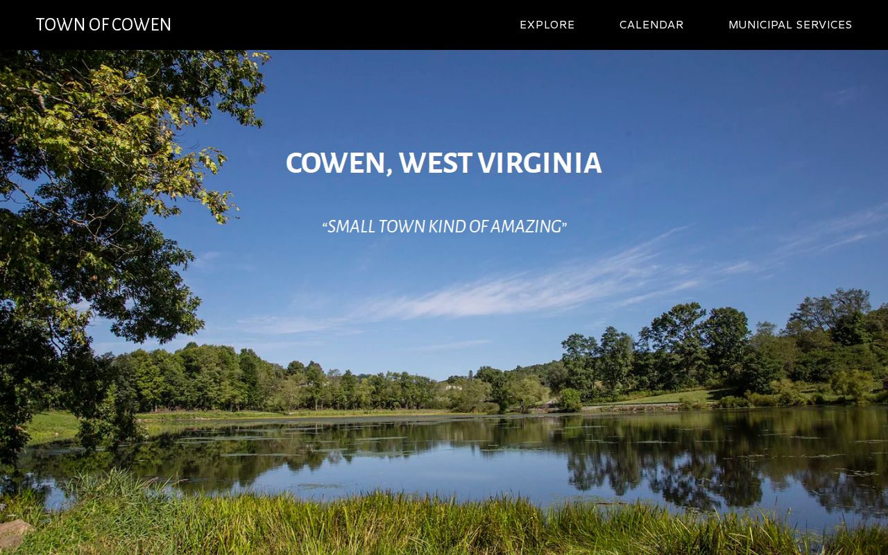
What the Cowen Town Website Can and Cannot Search
The Town of Cowen site supplies contact and community information. It publishes no online building-permit, zoning, code-case, annexation, or parcel-record search. The listing still helps. The Municipal Building appears at 91 Erbacon Road, Cowen, WV 26206, and the town recorder's phone is 304-226-3101. Confirm that contact handles your document type before sending a detailed request.
For a permit history, give the street address, the parcel number if available, the owner of record as shown on the card, and a year range. Ask whether the town or another authority holds the records. Older files may be archived separately. A property card's building year, dimensions, or improvement data describe assessment information only. They do not prove that construction was permitted. Nor do they show compliance with current rules.
ZIP Code 26206 Is an Address Aid, Not a Boundary
The town's municipal contact uses ZIP code 26206. Postal geography routes mail and nothing else. Nothing official ties the ZIP outline to Cowen's incorporated boundary. A road address can carry the Cowen delivery name while sitting outside the town. An old document may use a different community name for the same area.
When a search by town name returns too many results, or none, drop the place name. Search street plus owner instead. Or search the PID directly. Keep the mailing address separate from the parcel's physical or E-911 address. This matters most for rural properties. A route number or post office box may not work in the map viewer there.
Read the Cowen Parcel Number in Parts
Webster County builds each parcel number from set pieces. These are county, district, map, parcel, and a suffix. Read it in parts rather than guessing. No Cowen-only prefix exists, so always search with the full printed identifier. On a parcel card, the district and map numbers often matter more than the town name. That detail matters when you trace older instruments.
Once the IAS search returns the property, compare. Check the physical address, acreage, legal description, map and parcel, and deed book and page. Then find the instrument itself in the Clerk's index. One parcel can carry more than one tax-map feature. An updated owner name can sit beside older deeds that still show a former owner. Keep both the parcel reference and the instrument reference in your notes for that reason.
County Assessment Values for Cowen Properties
Assessed value starts with the county Assessor's annual card. Each Cowen parcel gets one. The appraisal itself draws on market evidence and the property's characteristics, and the state then applies its ratio: appraised value times 60 percent yields the assessed value. Levy rates combine with that assessed figure to produce the tax. So a tax bill is never the same number as an appraisal or a sale price.
No Cowen-only value trend, town revaluation schedule, or published median appears in the county's materials. Judge a parcel against others with similar use, location, size, and condition rather than leaning on a countywide figure as a town estimate. Question something on the property card? Contact the Assessor and ask how to review the listed characteristics and the valuation behind them.
Assessment Timing and the July 1 Snapshot
West Virginia puts every county on an annual assessment cycle, and appraisers walk real property at least once every three years. The assessment books close by January 30. From there they go to the Board of Review and Equalization by February 1. The tax year itself turns on a July 1 snapshot, so a 2022 tax bill reflected ownership as it stood on July 1, 2021. That lag is normal. A deed recorded after the snapshot can leave the property record card and the tax bill showing different names for a while.
State law requires the Clerk to pass transfer information to the Assessor by the tenth of each month, though the county publishes no fixed figure for how quickly the online records follow. When a sale or inheritance is fresh, pull the recorded deed and ask the Assessor whether the tax card has caught up. Bill amounts and payment status belong to the Sheriff.
What Cowen Property Records Prove—and What They Do Not
What do Cowen property records actually prove? They show what the public index currently reports. That includes an owner-of-record name, the instrument reference, an assessed figure, a legal description, and a mapped location. The town itself may add permit or zoning documents when they exist. Strung together, these sources form a solid due-diligence trail. They are not a title opinion, a boundary survey, an inspection, or a current market appraisal. In other words, they carry weight but not final authority.
Read the original deed and the later conveyances. Bring in a licensed surveyor or attorney when a boundary or title question carries real weight. A boundary dispute deserves professional eyes, not guesswork. A statewide map is a locator, not a survey. When requesting public documents, name the record, the property, and the date range. The West Virginia Freedom of Information Act permits reasonable copying charges. But it allows no search or retrieval fees.
Lawful use. Use Cowen property records for ownership research, property decisions, and civic transparency. Do not use owner details to stalk, harass, threaten, or harm another person.